Take a look at the photos and videos we have taken with our DJI equipment.
Aerial Photography
Click any image below to step through the gallery. Use controls to enlarge or play, or click the maximise button. Mouse wheel zooms in & out.


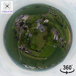
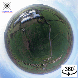
Interactive 360 Panoramas
Click photo for pop up window
-
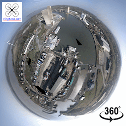
- Sharpness Docks & Shipyard
-
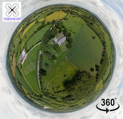
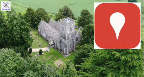
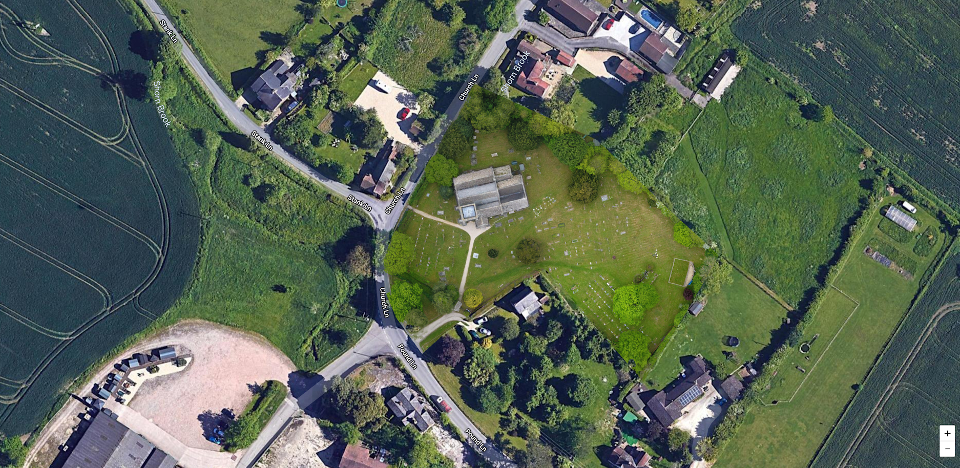
- St John the Baptist Church, Elmore. Gloucester
-
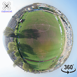
- Tuffley Rovers, Gloucester
-
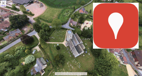
- St Nicholas Church, Hardwicke. Gloucester
-
- Ringtone.net Ltd
Our Footage on the BBC – Click here
Night Flying


Produced Video
1
/
3
Nothing Special just some snow in Hardwicke & Quedgeley, Gloucester in UHD (4K)
Sharpness Docks & Dry Dock
Snowy Hardwicke, Gloucester and beyond from 400ft
Severn Bore
Channel 5's Worlds Greatest Bridges - The Severn Bridge
Roof Inspection
The Arkendale H & the Wastdale H near Sharpness (4K UHD) (Footage as seen on Channel 5)
St John the Baptist Church. Elmore, Gloucester.
St Nicholas Church, Hardwicke, Gloucester. England
"Hardwicke" - Gloucester
The Anchor Inn, Epney. Gloucester.
The Severn - Epney, Glos
Nothing Special just some snow in Hardwicke & Quedgeley, Gloucester in UHD (4K)
Sharpness Docks & Dry Dock
A bit more snow in Hardwicke.......18th March 2018
1
/
3
2D & 3D Mapping & Surveying
2D GEO Referenced “TIFF” image examples:
-
- St John the Baptist Church, Elmore. Gloucester

-
- St Nicholas Church, Hardwicke. Gloucester
-
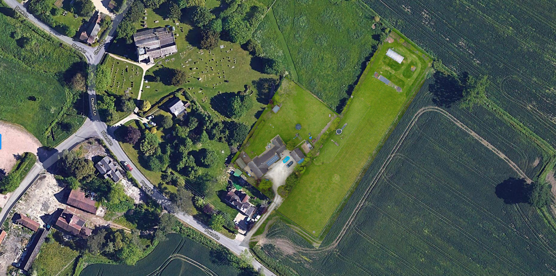
- Ringtone.net Ltd
3D image:
(select Theatre Mode and HD for best experience using Chrome)
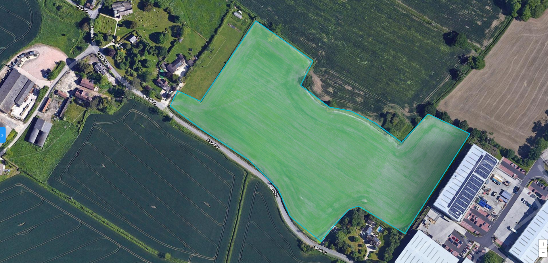
Crop Health using VARI Algorithm & RGB Filter
VARI was designed and tested to work with RGB data rather than near-infrared (NIR) data. It is a measure of “how green” an image is. VARI is not intended as a substitute for a NIR camera, but it is meaningful when working with non-NDVI imagery. The VARI index was developed on measurement of corn and soybean crops in the Midwestern United States.
-
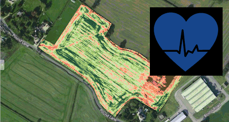
- A Crop Health view of a Hardwicke 10.2 acre field (select Crop Health)